Disaster relief, wildlife conservation, infrastructure management, agriculture, and urban planning demonstrates their versatility and effectiveness in addressing complex challenges. Continue reading →
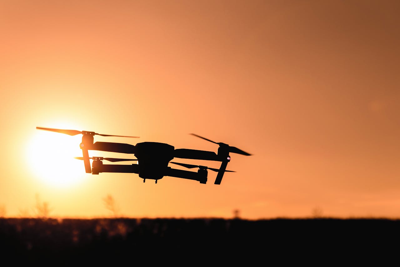
In various challenging environments, drones have emerged as indispensable tools for critical data collection. Traditional methods of gathering information often fall short in hard-to-reach or hazardous areas, where accessibility and safety are major concerns.
Whether surveying disaster-stricken regions, monitoring wildlife in remote terrains, or conducting inspections of large infrastructure, drones provide an unparalleled ability to capture accurate and comprehensive data. By offering a unique aerial perspective and the ability to access previously unreachable locations, drones have revolutionized data collection methods, enhancing both efficiency and effectiveness across multiple industries.
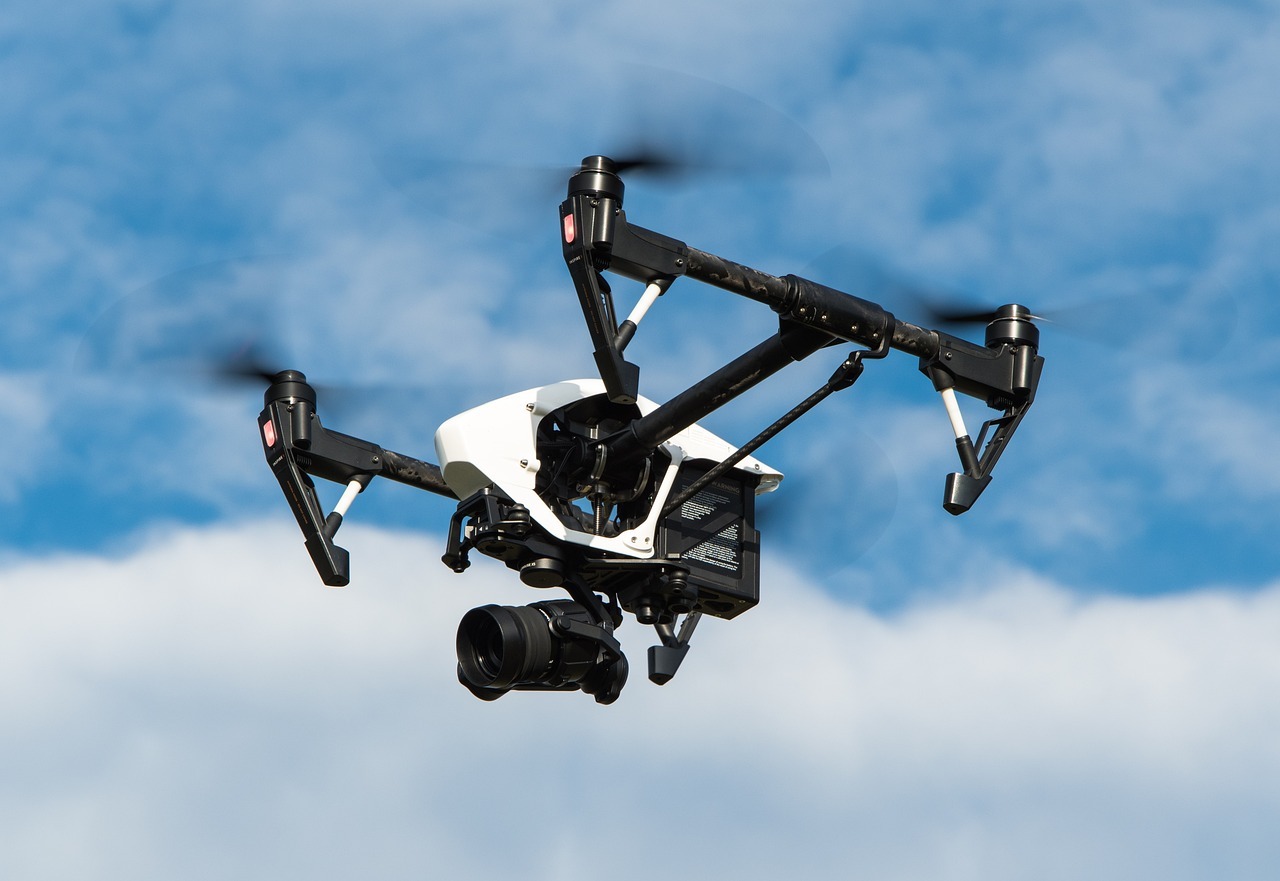
Drones today are equipped with state-of-the-art technology that significantly enhances their data collection capabilities. High-resolution cameras and sensors allow for the precise capture of images and environmental data, offering critical insights that were once difficult to obtain. As a result, drones can perform tasks such as mapping, thermal imaging, and 3D modeling with unprecedented accuracy. These technological advancements have made drones invaluable across sectors like agriculture, real estate, and environmental conservation, enabling stakeholders to make informed decisions based on comprehensive data.
In addition to improved camera systems, drones now come with enhanced navigational capabilities, powered by GPS and advanced algorithms, allowing them to perform complex flight maneuvers autonomously. This autonomy not only improves the safety and efficiency of operations but also reduces the need for manual intervention in hazardous conditions. Over time, advancements in battery life and durability have further extended their operational scope, highlighting drones as versatile tools in the arsenal of modern data collection technology.
The utility of drones in disaster relief has been transformative, helping to save lives and allocate resources efficiently. During natural calamities such as earthquakes, floods, or hurricanes, drones quickly assess damage by flying over affected areas, capturing aerial views that aid rescue operations in identifying the most affected regions. This immediate data collection accelerates the logistics of emergency response teams better than conventional methods, which often confront accessibility and time-delay issues.
Even in the aftermath of disasters, drones continue to play a vital role in damage assessment and reconstruction planning, providing detailed, up-to-date information that guides rehabilitation efforts and resource allocation. Whether they’re US made drones or foreign-made drones, their ability to navigate through hazardous areas and capture high-resolution images makes them an invaluable asset in disaster relief efforts. Not only do they reduce risks for first responders, but their efficiency also helps save time and resources, ultimately contributing to better outcomes for affected communities.
In the field of wildlife monitoring and conservation, drones have become indispensable. They offer a safer, non-intrusive means of observing wildlife in their natural habitats, minimizing human interference while maximizing data accuracy. By utilizing thermal imaging and high-definition video capture, researchers can monitor species’ behaviors and movements continuously, yielding insights crucial for conservation efforts.
The application of drones in infrastructure monitoring and inspection transforms how industries manage large-scale assets. Routine checks of bridges, dams, towers, and other critical structures are streamlined as drones provide detailed visual records without the need for large crews or heavy equipment. This capability not only enhances safety by reducing human exposure to hazardous working conditions but also ensures higher inspection frequencies, resulting in timely maintenance and prevention of potential failures.
Drones are equipped with specialized sensors to detect structural anomalies such as cracks or heat loss, providing essential data that facilitates predictive maintenance. By analyzing these insights, asset managers can address issues proactively, ultimately extending the lifespan and efficiency of crucial infrastructure systems. This technology integration represents a shift towards smart infrastructure management, easing budgeting constraints and enhancing the reliability of public utilities and facilities.
Drones have taken root in agriculture as powerful tools for precision farming, streamlining once-labor-intensive tasks. From high-resolution aerial imaging to multispectral analysis, drones offer farmers critical insights into crop health, soil conditions, and the distribution of water resources. This information is leveraged to tailor farming strategies, optimizing yield and reducing resource waste through smart field management.
Drones are instrumental in pest surveillance and automated fertilizer or pesticide application. These applications enable precise targeting, minimizing chemical use and fostering sustainable agriculture practices that benefit both the environment and agrarian economies. By integrating drone technology, farmers can transition towards innovative agricultural techniques that promise to meet the growing global food demands while preserving the integrity of natural resources.
In the realm of urban planning, drones provide data that is crucial for sustainable city development. Planners benefit from aerial views and 3D models of urban areas, enabling them to visualize the potential impacts of proposed developments. These insights help in making informed decisions on land use, zoning regulations, and public infrastructure expansion, ensuring resource-efficient and environmentally conscious urban growth.
Urban management also leverages drones for effective surveillance, traffic monitoring, and environmental assessments. Data from drones aids in managing public events, ensuring safety protocols, and monitoring air quality. By offering a comprehensive view of urban landscapes, drones equip city authorities and planners with the necessary data to foster developments that enhance the quality of urban life, meet regulatory standards, and promote public welfare.
As drone technology continues to evolve, its integration into diverse fields shows promising prospects for innovative applications. Potential developments include improvements in artificial intelligence for advanced data analysis and further automation of flight operations, reducing human error and enhancing data accuracy. These advances could unlock new capabilities in sectors such as transport, healthcare, and even law enforcement.
However, as with any technological innovation, the expansion of drone usage presents ethical challenges and privacy concerns. It is crucial to establish regulatory frameworks that balance technological progress with individual rights to privacy and security. Developing clear policies will facilitate the responsible and ethical use of drones, ensuring their benefits are maximized while minimizing potential societal risks. Through collaboration among technologists, policymakers, and society, the future of drones can be shaped to serve the greater good effectively.
Drones have undeniably transformed the landscape of data collection across numerous industries, offering innovative solutions and unparalleled capabilities. Their consistent integration into diverse fields such as disaster relief, wildlife conservation, infrastructure management, agriculture, and urban planning demonstrates their versatility and effectiveness in addressing complex challenges. With ongoing advancements in technology, drones are poised to continue expanding their roles, providing even greater accuracy, efficiency, and safety in operations.


Whether it’s increasing traffic, boosting credibility, targeting local customers, or gaining a competitive edge, the…
By analyzing streaming data, social media engagement, and other metrics, A&R teams can discover emerging…
PDF document translation has long faced unique technical challenges, with traditional translation methods often struggling…
Atlys provides complete paperwork management to let you create lasting vacation experiences without worries about…
This article explains how candidate screening solutions work, their key features, and how businesses can…
Building lasting influence as a brand or business involves consistently producing good content, meaningful engagement…